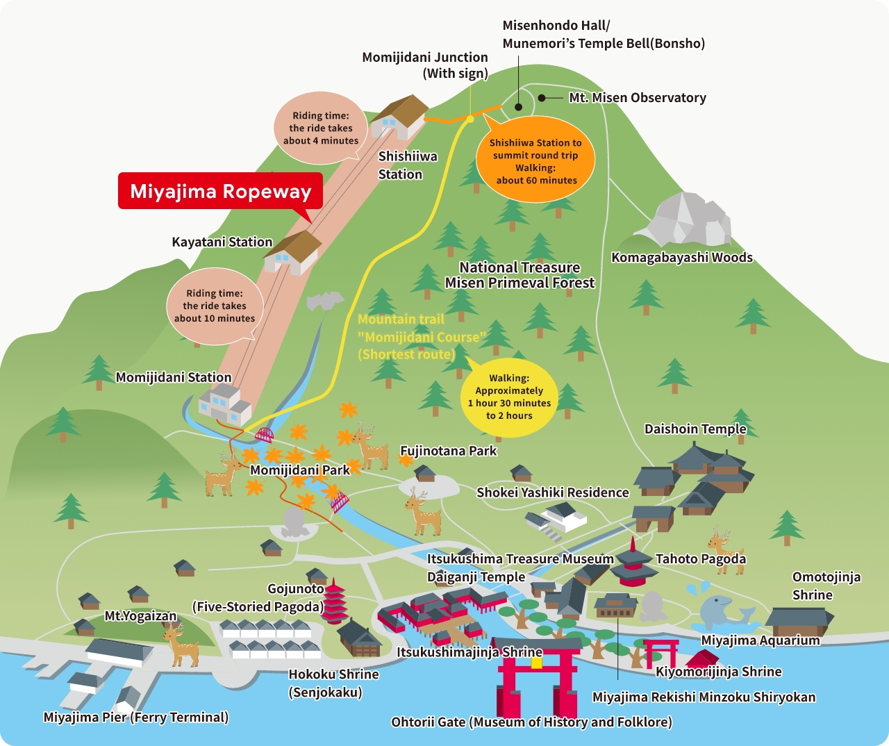
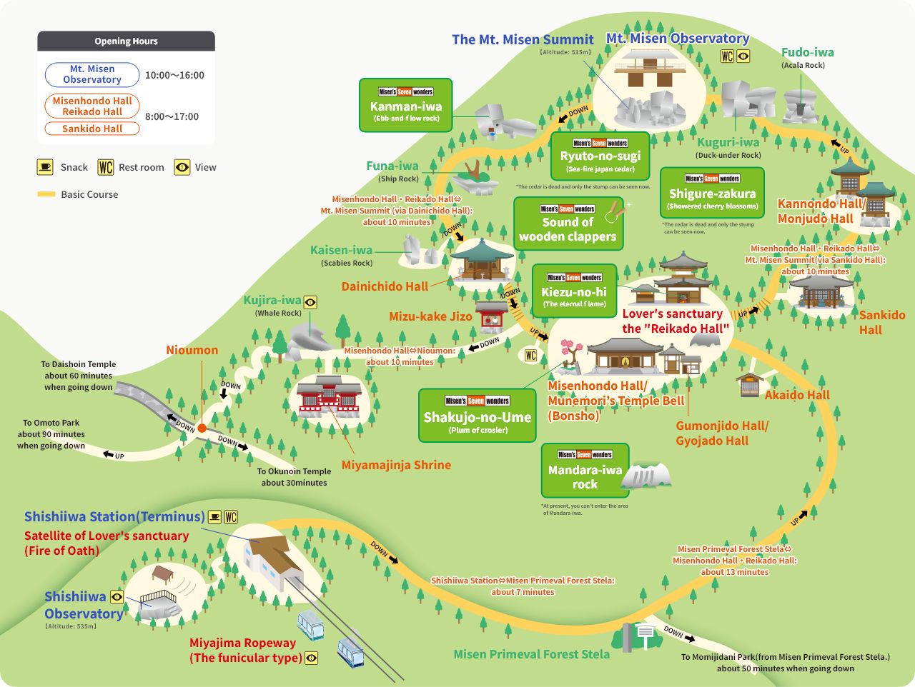
Walking Map

Route guide

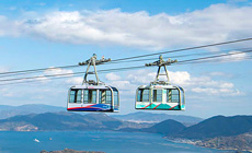
This is a guide map from Miyajima City to Momijidani Park to the summit of Mt. Misen.
There are steep slopes and stone steps around the summit and on the hiking trails. Please plan your visit carefully, taking into account your physical strength, weather, sunset time, etc.

Route guide

Map for strolling

The area around the summit of Mt. Misen is full of sightseeing spots related to history and nature! There are a number of spots related to renowned figures. Comparing one to another will increase your level of pleasure with them all!!

Map for strolling

Standard course(About 1 hour required)

画像:弥山山頂 散策マップ

The standard course is a roundabout walk from Miyajima Ropeway Shishiiwa Station to the summit of Mt. Misen.
Walkers can enjoy a variety of highlights on the summit of Mt. Misen.

Suggestions for when you climb Mt. Misen.

Check your clothes!

Are they suitable for your activities? We recommend layered clothes and sneakers because the weather changes quickly on the mountain!

Be careful on the mountain trails!

Please watch your step when it’s raining. It can be slippery! Beware of poisonous snakes and bees.

Preserve the natural environment!

Bring all of your litter back with you. To protect the ecosystem, please refrain from gathering and bringing out plants.